Powerful weekend winter storms bound for Northwest, South
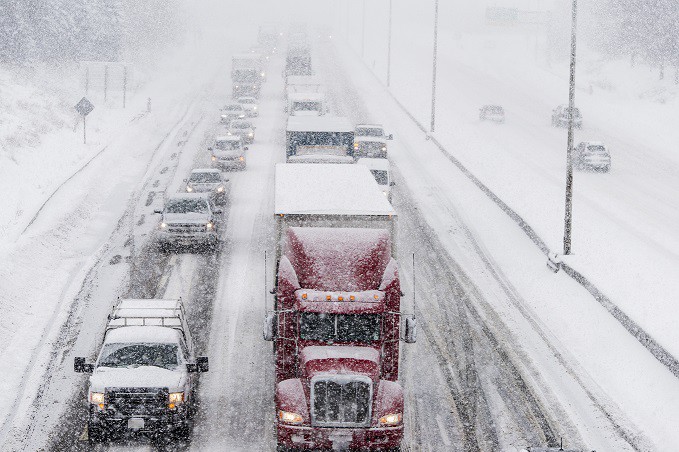
A powerful winter storm will make roads treacherous for truckers this weekend. It starts in the Pacific Northwest (PNW) on Friday, ending up in the South by Sunday.
Pacific Northwest
A series of storms has produced heavy snowfall in portions of the Pacific Northwest since earlier this week. More periods of snowfall will produce an additional 12 to 36 inches in high elevations of the Cascades and northern Rockies through Saturday. Blizzard conditions are possible in some areas, particularly in the western Columbia River Gorge.
Several more inches could pile up in lower elevations along Interstate 5, in places like Seattle and Portland, Oregon. Roads were very slick in Portland Thursday night due to snow, sleet and a bit of freezing rain. Drivers could also have issues on Interstates 84 and 90 and U.S. Highway 2.
Meanwhile, on the southern end of the storm, it will be mostly rainfall from Medford, Oregon, into far Northern California. It could be heavy enough to cause periods of localized flash flooding.
By Saturday night, the storm should exit the region and head to the central and southern Rockies.
South
The PNW storm will remain strong as it heads toward the Plains and lower Mississippi Valley Sunday and Monday. Moderate to heavy snowfall will spread across Kansas, Oklahoma, Texas, Arkansas and Louisiana. Gusty winds and blowing snow are possible.
Cities in the potential impact zone include Wichita, Kansas; Oklahoma City and Tulsa, Oklahoma; Dallas-Fort Worth, Austin, Amarillo and Lubbock, Texas; and Little Rock, Arkansas.
Read more: FreightWaves